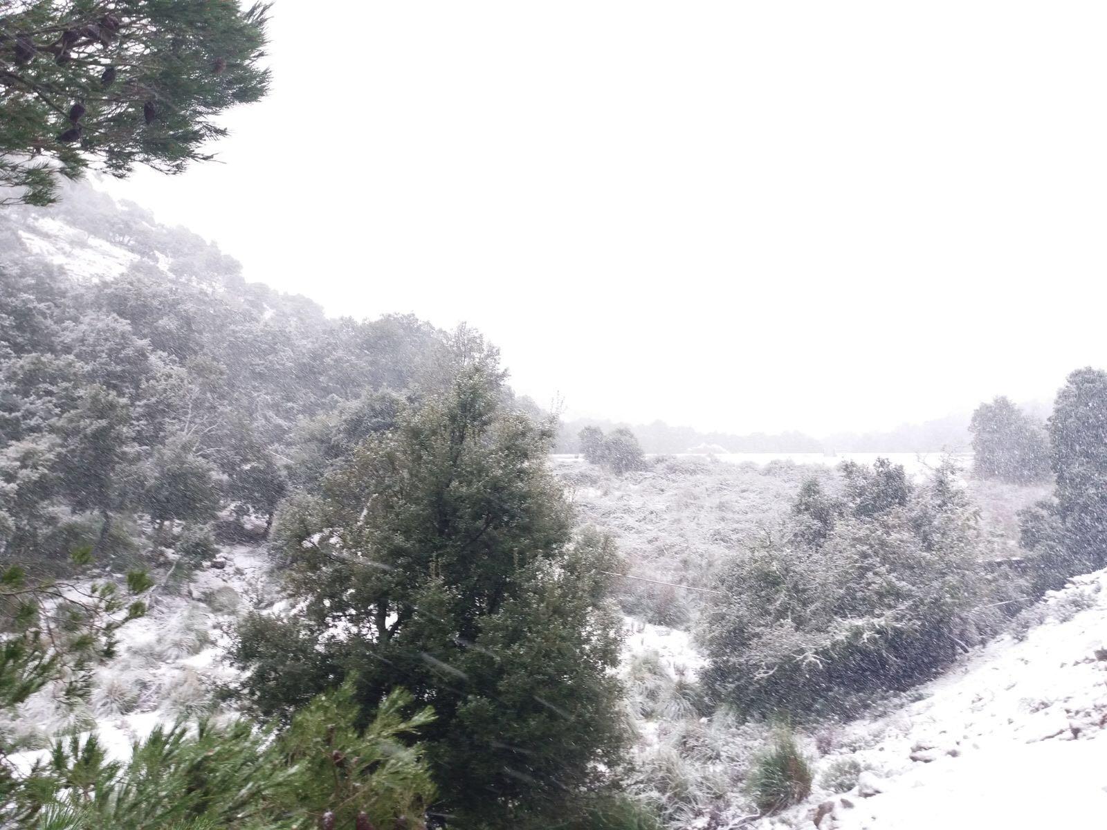
Very windy again. There is a yellow alert for wind until 3pm in the Tramuntana and the south. Given some weather station predictions, it could be that this is extended to other areas and raised to amber. Yellow alert for rough coastal conditions until midnight Wednesday for the Tramuntana, north/northeast and south and until midday for the east coast.
Maximum temperatures dropping by five to six degrees compared with Tuesday.
Forecasts for Wednesday (UV rating 1; daytime humidity 30-50%):
Alcudia 15C, fresh west breeze increasing to strong and near gale northwest.
Andratx 15C, fresh northwest breeze.
Deya 12C, strong northwest breeze increasing to near gale.
Palma 13C, moderate west breeze increasing to fresh-strong northwest.
Pollensa 15C, fresh west breeze increasing to strong northwest.
Sant Llorenç 13C, fresh west breeze easing to moderate northwest.
Santanyi 14C, moderate west-northwest breezes.
Balearic Webcams (majorcadailybulletin.com)
Tuesday summary (to 6pm) - Highs of 20.3 Muro, 19.9 Capdepera and Palma Port; Lows of 4.4 Serra Alfabia (Bunyola), 5.7 Son Torrella (Escorca), 8.3 Lluc; Gusts of 129 km/h Serra Alfabia, 93 Palma Airport, 92 Son Servera; Rainfall of 4.4 litres per square metre Pollensa, 3.4 Palma Port, 2.6 Puerto Pollensa.

No comments
To be able to write a comment, you have to be registered and logged in
Currently there are no comments.