Temperatures dropped to 5-10 degrees in the northern half of the peninsula over the last few days and Castellón even had 3-4 centimetre hailstones, the biggest since records began in 1945.
Strong thunderstorms and hailstorms are forecast in the Pyrenees, south of Aragon, east of Castilla-La Mancha, interior of the Valencian Community, interior of the Region of Murcia and Eastern Andalusia on Monday and rainfall could exceed 20 litres per m2 in less than an hour. It will also be slightly warmer in most places, except in the eastern third of the peninsula.
“Temperatures will be cooler than usual for this time of year" said del Campo.
On Tuesday, an Atlantic front will sweep across the northern tip of the peninsula, bringing showers to Galicia and western Cantabria and heavy rain to the Basque Country, northern Navarre and the Pyrenees.
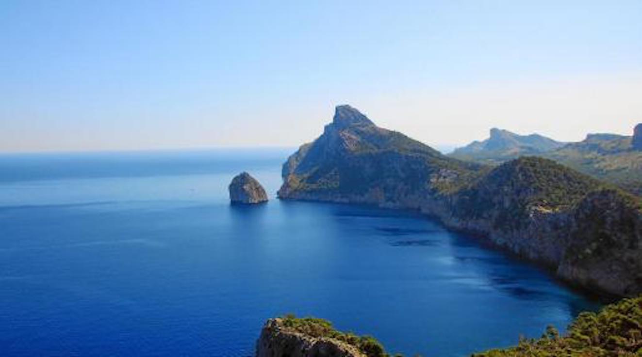
The rest of the country will be mostly cloudy, but slightly warmer with highs of 32 degrees in central and southern areas and in Mallorca.
Cloudy skies are forecast for most of the country on Wednesday, with showers in northern areas, but it will be slightly warmer onthe coast with highs of 36 degrees in the Guadalquivir Valley and southeastern interior.
Temperatures will rise again on Thursday, with highs of 35 degrees in Cantabria and the Ebro Basin and at least 38 degrees in the Guadalquivir Valley.
The weather will stabilise at the end of this week, except in the far north of the peninsula which will be cooler, overcast and windy with scattered showers.
Trade winds will batter the Canary Islands for much of the week and it will be cloudy with light rain in mountainous areas.

No comments
To be able to write a comment, you have to be registered and logged in
Currently there are no comments.