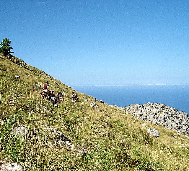
Ambitions for a grand, long-distance hiking route to link the mountains of Arta with the Tramuntana have been on the back burner for some years. The initial approval for the development of this route, its control and activities that may occur along it was given at the start of December 2008. This was known as the special plan for the organisation and protection of the Arta-Lluc route, but its final approval was not sought until May 2011. Since then, the project has pretty much been forgotten, with not one single procedure having been established in order to introduce the route.

1 comment
To be able to write a comment, you have to be registered and logged in
What they really mean is that now the tourist tax has been re-introduced,they can get the money from the tourists rather than from their own pockets.